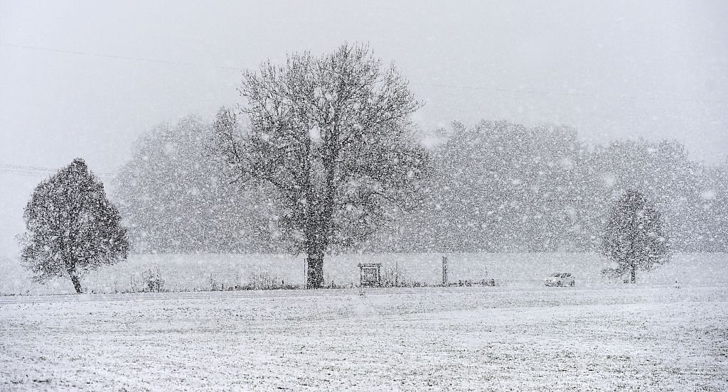
The Old Farmer’s Almanac has issued its Winter 2026–2027 forecast, highlighting that a strengthening Super El Niño could impact weather patterns across the U.S. Ocean temperatures in the tropical Pacific are increasing, a signal known to disrupt the jet stream and drive major winter storms. Millions of Americans might face wetter conditions, heavy snow, icy mixes, or sudden cold outbreaks as shifting climate signals converge for the new season.
Winter Outlook Across the United States
The Almanac’s forecast indicates a winter marked by sharp contrasts, with different regions experiencing varied conditions. An active southern storm track is anticipated, bringing wetter-than-normal weather from Southern California across Texas, the Gulf Coast, and into the Southeast. These areas might encounter repeated storms, muddy fields, and instances where cold air meets moisture, creating sleet, freezing rain, or heavy, wet snow.
In the North, conditions might be more volatile. The West, northern Plains, Upper Midwest, and Great Lakes should average near-normal temperatures, but “near normal” doesn’t equate to calm conditions. Fast-moving clippers, sudden cold snaps, and periods of bitter air are expected, interspersed with brief thaws.
Inland areas of the Northeast may experience rounds of heavy, wet snow, while coastal regions might see rain or mixed precipitation as storm tracks shift. Small temperature changes could transform a forecast of slushy snow into a significant winter storm.
Crystal Egger, meteorologist and president of Monarch Weather Consulting, noted that the specific regional outcomes are still uncertain, but the southern U.S. shows signs of elevated risk. “California, the Southwest, and southern U.S. are areas I’m watching closely because a strengthening El Niño can favor an active storm track across this southern tier,” she told Newsweek.
Impact of Super El Niño
El Niño is the primary signal shaping the upcoming winter, with this year’s event strengthening quickly. The warming tropical Pacific alters the jet stream, the high-altitude air current guiding storms across North America. A stronger El Niño typically shifts the jet stream southward, energizing storms and channeling moisture into the southern United States.
A Super El Niño, indicated by exceptionally warm Pacific waters, can enhance these effects. Wetter conditions are more likely across the southern tier, while northern states might see more variable patterns, including quick cold snaps and sudden snow squalls.
Egger explained that a stronger El Niño strengthens the subtropical jet, leading to more storms in the southern U.S., often resulting in heavy rain and flooding, particularly in California, the Southwest, and the South. “Florida, in particular, has experienced more severe weather during El Niño winters, including tornadoes,” she added.
She further stated that when these storm systems combine with cold air pockets, they could result in notable winter weather, including snow and ice storms. For businesses, the implications are significant: “For energy and transportation, it’s about operational disruptions—flooding, mudslides, ice, travel delays, infrastructure challenges, and rapid changes in demand.”
Role of the Polar Vortex
The polar vortex, a large pool of cold Arctic air usually confined near the North Pole, remains an unpredictable factor. If the polar vortex weakens or shifts, frigid air could move southward, causing extreme cold in parts of the U.S. Forecasters are observing the Quasi-Biennial Oscillation (QBO), a pattern of high-altitude winds, for influences on the polar vortex later in the season. If destabilized, regions expecting near-normal temperatures might experience sudden cold spells.
Egger noted the unpredictability of El Niño winters, stating, “Significant challenges often arise from a combination of factors, not a single storm. Each El Niño event is different.” She emphasized that while strong El Niño winters have historically led to significant precipitation events, each season has its unique atmospheric setup.
Accuracy of Almanac Predictions
The Old Farmer’s Almanac reports an average accuracy rate of about 80% for long-range weather predictions. Last winter, the publication claimed an overall accuracy of 86.1% and success rates of 88.9% for temperature trends and 83.3% for precipitation departures.
Their forecast of a Southern snow event was accurate when a rare January storm brought up to nine inches of snow from Mobile to Pensacola, with New Orleans receiving eight inches.
The Almanac’s methodology combines a proprietary formula dating back to 1792 with modern meteorological tools, comparing solar activity, historical patterns, and long-term climate signals to create seasonal outlooks. Although independent reviews often show lower accuracy than the Almanac’s reports, it remains a long-standing source of long-range forecasts in North America.
Egger advised that the public often misunderstands what “Super El Niño” entails. While a strong El Niño might indicate a less active Atlantic hurricane season, less active doesn’t mean less impactful. “It only takes one landfalling tropical storm or hurricane to have a major impact,” she said.
She stressed that El Niño reshapes weather risk nationwide, affecting storm tracks, precipitation, and temperature patterns beyond hurricane season. Her advice to businesses and households: “Don’t wait for weather to become a crisis to determine its operational impact. Understanding risk before it impacts you is the best preparation for uncertainty.”