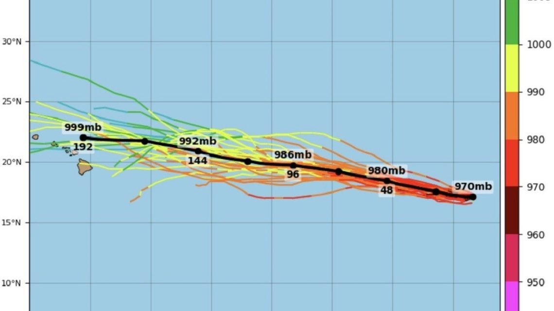
Hurricane Karina Becomes Category 4 Storm
Hurricane Karina has intensified into a Category 4 storm in the eastern Pacific. The strong winds are generating swells that could travel north and affect Southern California. These swells pose serious risks, including dangerous surf and rip currents.
Impact on Coastal Regions
An advisory from NOAA’s National Hurricane Center warns that swells from Karina will affect the coast of southwest Mexico and the Baja California Peninsula. The swells are expected to move north to Southern California from Monday through midweek, raising concerns about life-threatening surf and rip currents.
Tracking Hurricane Karina
Karina itself will not approach California, as it is moving westward into the Pacific. Despite this, swells can travel far from the center of such storms, affecting areas hundreds of miles away. The hurricane is located about 1,020 miles west-southwest of the southern tip of Baja California. As of late Sunday, the storm had maximum sustained winds of 145 mph and was moving west at 9 mph.
Spaghetti Models and Forecast Data
Spaghetti models from the Tropical Tidbits website indicate that Karina will continue moving westward over the Pacific. These models show varied potential paths for the storm, using acronyms such as GEFS for Global Ensemble Forecast System and MSLP for minimum mean sea level pressure. MSLP is measured in millibars or hectopascals, with lower values indicating stronger storms.
Southern California Threat
The NHC forecasts Karina’s continued movement west on Monday, with a turn to the west-northwest on Tuesday. Although the storm remains over the Pacific, swells are expected to affect Southern California, creating perilous surf and rip currents.
Ongoing Monitoring
Karina’s center is located at 17.2 degrees north latitude and 124.4 degrees west longitude. The storm is moving west at 8 knots, with sustained winds reaching 125 knots. Further strengthening and fluctuations in intensity are possible through midweek.
Beachgoers and locals are advised to monitor weather updates and heed warnings. The NHC strongly advises checking local weather forecasts regarding surf and rip-current dangers.
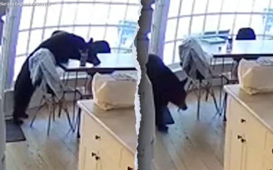 Bear Breaks into Colorado Home, Shocking Family
  FDA Proposal to Revise GRAS Notification
 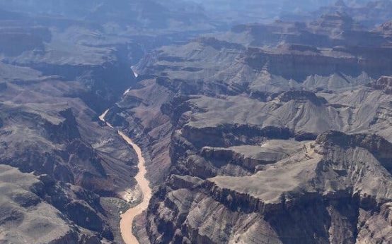 Second Death Confirmed in Grand Canyon Flooding Amid Search Efforts
 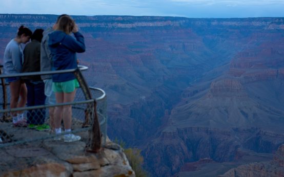 Grand Canyon Flash Flooding: Search and Recovery Efforts Continue
  President Trump Stands Firm on Data Centers Amid Rising Opposition
 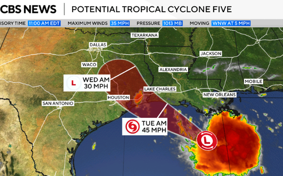 Tropical Storm Warning Issued for Louisiana and Texas