
A map from historical data illustrates the likelihood of snow on the ground on December 25. An El Niño winter might result in a divide between states with a near-guarantee of snow and those where snowfall remains unlikely in the United States. The National Weather Service (NWS) classifies a white Christmas as having at least one inch of snow accumulated by Christmas morning.
According to the National Centers for Environmental Information (NCEI), northern states, mountainous areas, and Alaska show the best odds for a white Christmas. Their snowpack is often established well before the holiday. In contrast, much of the country does not have a high probability of snow.
The NWS map indicates a decline in probabilities in the South, Gulf Coast, and the Southeast. Typically, temperatures in these regions do not support snow cover into late December.
El Niño’s Role in Weather Patterns
This year, many are watching for a potential strong El Niño. This climate pattern results in warmer-than-average ocean temperatures in the tropical Pacific. It can change jet stream patterns, which affects temperature and precipitation during North American winters.
According to AccuWeather meteorologist Peyton Simmers, traditional El Niño patterns favor a white Christmas in higher elevations of western states. Usually, December during El Niño years is warmer than the norm in the eastern United States, reducing the chances of snow.
Understanding Super El Niño
A super El Niño is an intense version of this climate pattern. It occurs when central and eastern tropical Pacific sea surface temperatures rise significantly, affecting global weather. Strong El Niños shift the jet stream and change winter temperature and precipitation patterns in the U.S.
The NWS Climate Prediction Center forecasts a greater than 90 percent chance of a strong El Niño developing in the fall and winter of 2026-27. There is a 69 percent chance it will be historically intense, surpassing records from 1950.
The NWS refers to it as a ‘very strong’ event, influencing U.S. weather mainly from late fall through winter. The strongest impacts typically occur between December and February.
El Niño and Snowfall
While some expect a strong El Niño to develop, the National Weather Service has yet to release a winter outlook detailing its potential effects on U.S. weather and snowfall. Historically, strong El Niños bring stormier conditions to southern U.S. regions and higher temperatures to the northern parts. This shift can decrease chances of a white Christmas in typically snowy states.
Nevertheless, some states remain likely locations for snow due to their cold climates and usual snowfall. Alaska, high-elevation regions in western states like California, Colorado, and Utah, and parts of Arizona and New Mexico are among the most dependable for a white Christmas.
Northern states such as Minnesota and North Dakota may see reduced chances due to warmer El Niño conditions. This can also affect eastern states like Maine, Vermont, and New Hampshire.
The Great Lakes region experiences mixed results. States like Wisconsin and Michigan benefit from lake-effect snow, but warmer El Niño winters can make predictions challenging.
In southern states, odds of a snowy Christmas remain low, El Niño or not. Snowfall in Texas, Louisiana, Mississippi, Alabama, and Georgia, while possible, is rare and difficult to foresee months ahead.
Looking Ahead
Long-term climatic trends still dominate white Christmas probabilities. States with established snow cover through December are likely to see snow even if El Niño affects weather patterns. As winter nears, forecasters will better understand the season’s evolving conditions.
For those seeking snow during the holidays, heading north appears to offer the best prospects.
 OpenAI Claims Breakthrough in Mathematics with AI Model
  Smokey Bear’s Misunderstood Message: A Critique of Trump’s Environmental Policies
  Data Centers Spur Economic Opportunity Amid Local Concerns
  California’s Electric Vehicle Journey Amid Political Challenges
  Trump Orders Review of Gray and Mexican Wolf Protections
 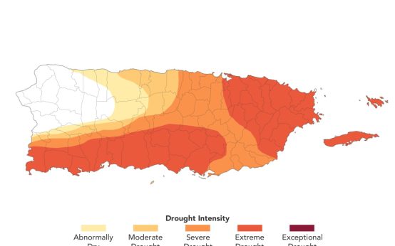 NASA Map Highlights Drought Conditions in Puerto Rico