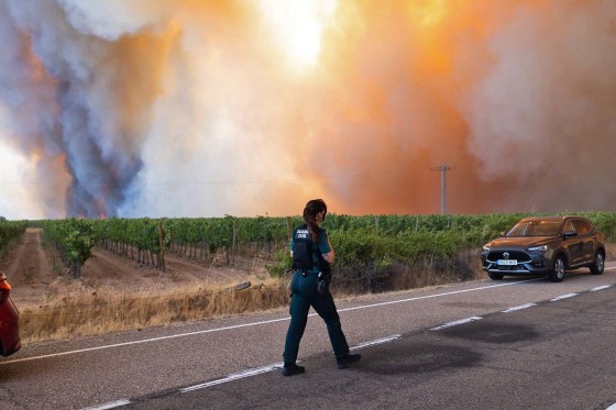
Wildfires have been tearing through France and Spain with unprecedented speed. Currently, both countries face significant challenges in controlling the fires, which continue to spread rapidly.
Wildfire smoke fills the sky in Fermoselle, Spain, near the Portugal border. Spain has reported that over 450 square miles of territory have been consumed by flames this month alone. The relentless march of the fires has resulted in a grave situation for many communities.
As of July 29, 2026, these fires have ravaged more than hundreds of square miles in France and Spain over the past fortnight. Both local residents and tourists have been affected, causing mass displacement and reflecting the severity of the crisis.
Efforts to combat the fires are ongoing, yet the enormous scale presents a significant challenge for emergency services. Satellite imagery and photographs from the ground reveal the extent of the destruction, capturing scenes of smoke-filled skies and charred landscapes.
Local authorities continue to urge people to stay alert and follow evacuation orders as they attempt to contain the fires and protect vulnerable regions from further damage.
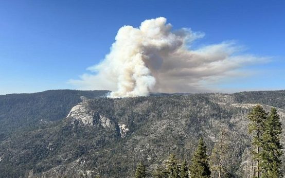 Helicopter Crash Claims Lives of Two Firefighting Pilots in Yosemite
  Cold Weather Alerts and El Niño Influence
  Turning Home Food Waste into Compost: A Guide
  Chicagohenge: When Sunlight Aligns with City Streets
  Fat Bear Week 2026: A Look at the Contest and Its Competitors
  California Governor Declares Statewide Emergency Ahead of El Niño Storms