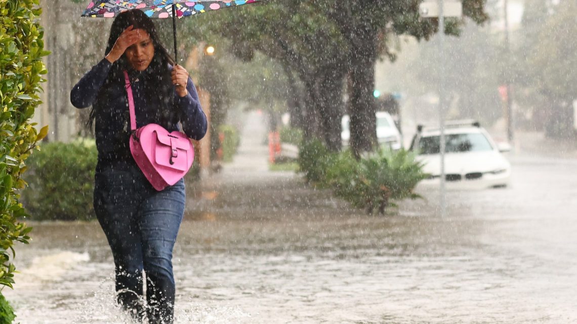
A major Super El Niño is anticipated to dominate U.S. weather patterns in the coming months, possibly becoming one of the most significant in decades. This phenomenon is expected to alter rainfall, storm paths, and snowfall as fall transitions to winter.
El Niño arises when Pacific equatorial waters heat above average, impacting global atmospheric circulation. AccuWeather stated there is a near certainty that the current El Niño will reach super status. Although early signs might appear by October, its most significant effects are expected from late fall through winter. Wetter conditions might occur in the South and California, while other areas could experience unusual warmth or dryness.
Understanding Super El Niño
Super El Niño events involve extreme warming in the tropical Pacific, heightening weather influences globally. While NOAA uses categories like “strong” and “very strong” for classification, other meteorologists and forecasters use the term “Super El Niño” to describe exceptionally intense episodes. The current event may reach the “very strong” category by winter.
In the U.S., Super El Niño often leads to increased storm activity in California and southern states, while the North usually sees milder weather. The Pacific Northwest could face drier conditions. However, meteorologists warn that El Niño’s impact coexists with other weather factors, so individual winter storms may not always align with the patterns predicted.
Arrival of Super El Niño Impacts in 2026
Early indicators of El Niño impact, termed “previews” by meteorologists like Paul Pastelok, have been observed. For instance, droughts and fires in the Pacific Northwest and Rocky Mountains might tie to the warming Pacific waters.
These impacts are more prevalent during cooler seasons when northern and southern jet streams merge. Areas from the U.S. Southwest to the Tennessee Valley may begin noticing weather shifts from late October to November, including increased low-pressure areas leading to rain and flood risks.
Meanwhile, drier conditions are likely across the Great Lakes and Upper Midwest by mid-fall. Severe weather, including tornadoes, could start affecting Florida and southern Georgia in November.
Influence on U.S. Ski Season
The Super El Niño’s effects on ski areas vary. Regions in Utah, Colorado, and California might experience beneficial snowfall due to a stronger storm trajectory. Notably, the central Sierra Nevadas might see significant snow accumulation.
Conversely, Oregon and parts of the Pacific Northwest could face below-average snowfall. Northern Rocky Mountain resorts may encounter uncertainty about snow totals, and climate change-related temperature rises could mean more rain than snow at lower elevations.
Super El Niño Snowfall Predictions
Forecast maps from OpenSnow suggest prime snowfall might favor the U.S. Southwest and southern Rockies, while northern states could see less than average. California and Utah appear likely to benefit, with storm systems targeting the Sierra Nevadas and central Rockies.
Elsewhere, like Colorado, predictions are less certain due to potential fluctuations between wet and dry storm paths. Oregon, Montana, and parts of the northern Rockies might undergo reduced snowfall.
The Midwest, northern regions, Great Lakes, and Northeast may witness below-average snow totals.
Though some signs of El Niño are visible, its impact on U.S. weather typically strengthens in fall and winter as ocean temperatures rise. These changes can reconfigure storm paths, modify rainfall, and influence temperatures extensively from late fall to early spring when the El Niño pattern is most intense.
 Criminal Investigation Underway at Lineage Cold Storage Warehouse
  Potential of Advanced Nuclear Power in Meeting U.S. Energy Demands
  U.S. Military Exercises in Arctic Highlight Strategic Shifts
  Supreme Court to Hear Landmark Cases on Climate Change and Immigration
  The Growing Threat of Lone Star Ticks on Martha’s Vineyard
  The Growing Threat of Glacial Lake Outbursts and the Urgent Need for Mitigation