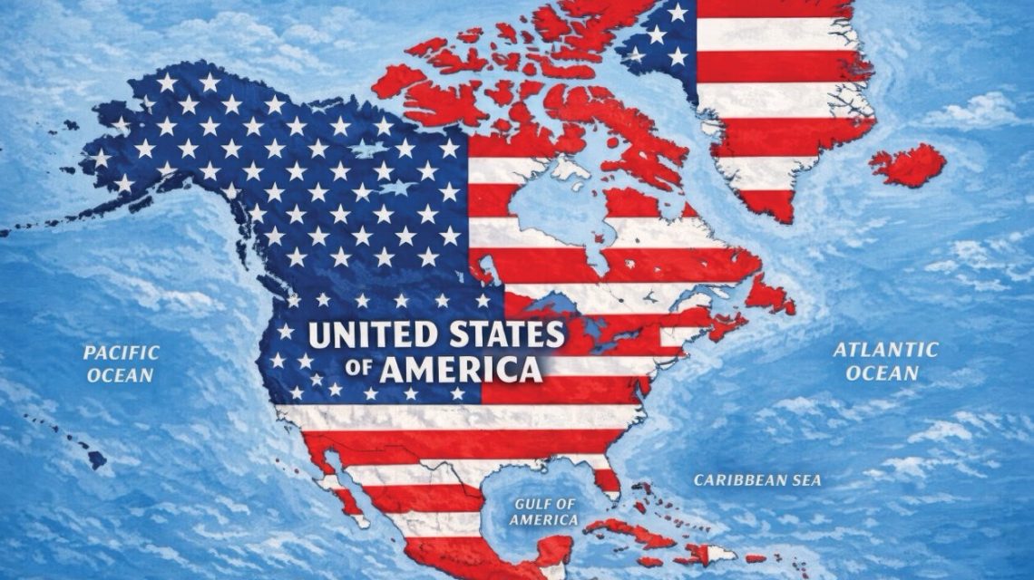
President Donald Trump shared a map on Truth Social that showed an expanded United States covering most of North America. This AI-generated image included the U.S. flag over Canada, Mexico, Greenland, Cuba, and other areas. The post lacked a caption, and the White House has not commented on its meaning or implications. The map spans North America, including 23 nations, and Greenland, an autonomous Danish territory. The image reflects Trump’s comments about changing the region’s political boundaries. He has floated the idea of Canada becoming a U.S. state and expressed interest in Greenland. His administration has also increased tensions with Mexico and Cuba.
Newsweek requested comments from the White House soon after the map was posted. Many of the featured countries have opposed Trump’s territorial ambitions. Canadian Prime Minister Mark Carney consistently rejected the idea of joining the U.S. When meeting with Trump on May 6, Carney remarked, “As you know from real estate, there are some places that are not for sale.” Trump replied, “Never say never.”
Mexican President Claudia Sheinbaum defended national independence against U.S. pressure. She posted on social media, “In the month of the homeland, we affirm that Mexico is not, and will not be, a colony or protectorate. We are a free, independent nation.” Cuba’s Foreign Minister Bruno Rodríguez criticized the U.S. for punitive measures described as an energy blockade, severe sanctions, and restricted fuel supplies, leading to power outages.
Trump also shared other AI images suggesting changes like renaming New Mexico to “New America” and claiming the Moon for the U.S. Earlier this year, an executive order aimed to rename the Gulf of Mexico as the “Gulf of America” for federal use only, not internationally recognized. More recently, Trump proposed renaming Lake Ontario as “Lake America” amidst a trade spat with Canada.
Professor Craig Agranoff from Florida Atlantic University told Newsweek that Trump’s image acts more as a message than policy. Trump uses maps and names changes to provoke, unlike formal claims. But foreign governments should not dismiss the implications. A president displaying the American flag over foreign countries compels a response. Ignoring the symbolism might suggest acceptance. The practical risk lies in diplomatic and trade complexities, not immediate annexation.
Countries depicted in Trump’s map include:
- Canada
- United States
- Greenland
- Iceland
- Mexico
- Belize
- Guatemala
- Honduras
- El Salvador
- Nicaragua
- Cuba
- Jamaica
- Haiti
- Dominican Republic
- Bahamas
- Puerto Rico
- Cayman Islands
- Antigua and Barbuda
- Saint Kitts and Nevis
- Dominica
- Saint Lucia
- Barbados
- Saint Vincent and the Grenadines
- Turks and Caicos Islands
- British Virgin Islands
- U.S. Virgin Islands
- Saint-Martin
- Sint Maarten
- Anguilla
- Saint Barthélemy
- Montserrat
- Guadeloupe
- Martinique
- Grenada
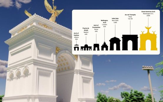 Veterans Continue to Oppose Trump’s Proposed Triumphal Arch Near Arlington Cemetery
  Democrats Look to Regain House Majority Amid Midterm Challenges
 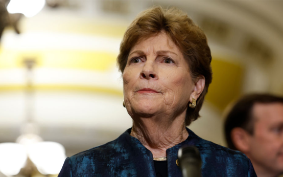 New Hampshire Senate Primaries Spark Political Battles
  Economic Impact of ICE Raids on Chicago Commerce
  Businesswoman Lily Tang Williams Wins New Hampshire GOP Primary
  Minnesota Senate Race: Flanagan Leads Tafoya in Tight Contest