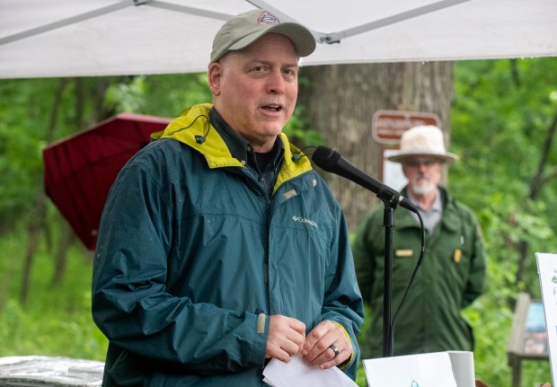
The Marquette Greenway trail, stretching close to completion, faces a few tough areas. According to Mitch Barloga, a key advocate for the trail’s Indiana sections, about 10 miles are under development. These are expected to be finished by next spring. Barloga, an active transportation planner at the Northwestern Indiana Regional Planning Commission, shares this vision with Rafi Wilkerson, who oversees National Park Service sections.
During the Marquette Greenway groundbreaking ceremony in Porter, Indiana, Barloga expressed optimism for the project’s progress. Upon completion, the Greenway will extend roughly 60 miles from Calumet Park in Chicago to New Buffalo, Michigan. As of October, 39 miles have been constructed, nine miles fully funded, and 12 miles partially supported.
Burns Harbor and Porter work on crucial sections with hopes of convergence, akin to the historic joining of east and west railroad segments in 1869. The Burns Harbor segment halts near the Norfolk Southern bridge over Little Calumet River, continuing under tracks and through Porter to reach Indiana Dunes National Park’s Minoke Prairie and the Howe Road trailhead. This connection will create a formal trailhead, enhancing the Little Calumet River Trail from a simple footpath to a developed route.
The trail’s extension to NIRPC’s building in Portage is set, offering scenic paths like the segment to Broadway in Beverly Shores, diverting from the Calumet Trail corridor under NIPSCO power lines. NIPSCO’s easements on Calumet Trail pose federal funding challenges, making the new scenic route favorable. The portion between Ind. 49 and Kemil Road is finalized, with the goal to complete its stretch to Broadway by year-end.
For avid cyclists like Barloga and Wilkerson, intermittent trails are inefficient. The trail project still requires approximately $30 million in funding. From Chicago, the route largely follows north of the Indiana Toll Road, aligning with U.S. 20. The Indiana Department of Transportation is paving a bike lane across Canadian National tracks. Riders will experience Seidner Dune and Swale nature preserve in Hammond. Future plans include refurbishing an old South Shore Line bridge over the Indiana Toll Road.
On the trail’s opposite end, Michigan is nearing completion, with only half a mile remaining. Riders can safely travel between Long Beach in Indiana to New Buffalo on quiet streets that parallel railroads. The Michigan City segment includes a 2.9-mile section funded by a RAISE grant, stretching from Karwick to El Portal, anticipated for completion in two years.
Major challenges remain for portions west of NIRPC building in Portage. A crucial bridge across Burns Ditch is planned, facilitated by a $15 million bond from the Portage Redevelopment Commission. However, extending Burns Parkway is contingent on sales and development approval for the 300 RDC-owned acres. An alternative route could steer the trail north along Ind. 249 to Portage Lakefront Park and Riverwalk, crossing an Indiana Dunes National Park bridge. Barloga notes unpredictability over these routes, highlighting plans for a steel heritage museum near Portage’s pavilion.
The proposed connection across the RDC’s bridge would lead to Stagecoach Road and to the South Shore Line’s Portage/Ogden Dunes station. Barloga humorously critiques the area’s road design. The route would navigate Ogden Dunes’ perimeter to West Beach, continuing to Douglas Center parking lot in Gary’s Miller area, marking the trail’s current endpoint.
The subsequent phase extends from Douglas Center to Broadway, near the old Union Station building. High on National Park Service’s agenda, adequate engineering funds exist, but construction dollars remain necessary. The RAISE grant also supports the costly west Gary segment, approximately $22 million to $23 million for three miles involving multiple bridge constructions. Solutions may include segmented development phases. Barloga hopes Gary can contribute to these costs.
The Broadway to Douglas Center span totals 3.6 miles, a National Park Service responsibility. Infrastructure includes bridging Lake Street and Norfolk Southern tracks. Frequent railway presence complicates development, with approximately five miles managed by National Park Service trails and another three by the city, Barloga explains. The trail represents a significant connection, demanding geographic navigation amid environmental, industrial, and railroad factors.
Doug Ross reports regularly for the Post-Tribune.
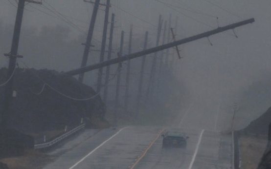 Record Quiet Hurricane Season in the Atlantic Due to El Niño
 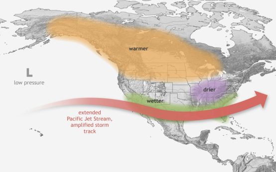 Increased Winter Weather Expected in Major Cities Due to Strengthening El Niño
  Lobster Boats and the Surveillance Debate
  Impact of Construction on Big Bend National Park’s Border
  Court Rules Against Federal Order on Coal Plant Operations
 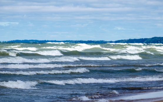 New Beach Hazard Warnings for Lake Michigan