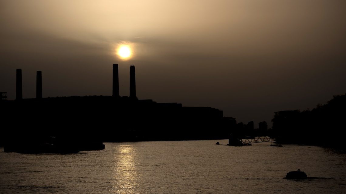
A significant dust plume from Africa’s Sahara Desert is traveling across the Atlantic Ocean, expected to influence parts of the southeastern United States. This movement leads to hazy skies, vibrant sunsets, and could pose air quality concerns for some residents.
Tracking the Dust Plume
Meteorologists monitoring the Saharan Air Layer anticipate the dust cloud will soon reach areas in Florida and the Gulf Coast as it proceeds west from the Caribbean. This phenomenon occurs at the peak of the Atlantic hurricane season, impacting regional weather patterns.
According to the National Oceanic and Atmospheric Administration (NOAA), the hot, dry air of the Saharan Air Layer limits tropical cyclone formation and intensification by reducing favorable conditions for storms in the Atlantic basin.
The tracking map illustrates the dust plume extending from North Africa, across the Atlantic Ocean, toward the Caribbean and southeastern U.S. The greatest impacts are projected for Florida and parts of the Gulf Coast, although the dust may weaken before reaching the mainland.
The Caribbean islands often experience the highest Saharan dust concentrations, with the plume dispersing as it moves west. Despite this, enough dust remains to create noticeable haze in affected regions.
Understanding the Saharan Air Layer
The National Hurricane Center’s Tropical Analysis and Forecast Branch explains that Saharan dust regularly spreads across the tropical Atlantic and Caribbean during this season. This is known as the Saharan Air Layer, a vast mass of dry, dusty air forming over the Sahara Desert in late spring and summer.
Tropical waves elevate dust particles into the atmosphere, where strong easterly winds carry them thousands of miles across the Atlantic. NOAA states the dust layer can be 2 to 2.5 miles thick, traveling from Africa to the Caribbean, the Gulf, and the U.S. from June to September.
Effects on Residents
NASA’s Monday update on dust modeling showed multiple plumes moving across the basin. The dust could lead to hazy or milky skies and localized air-quality concerns in affected regions.
Dust impacts air quality, particularly for those with asthma, allergies, or other respiratory issues. Health experts advise these individuals to limit outdoor exposure during high dust periods. The most visible impact includes milky or hazy skies and striking sunrises and sunsets due to sunlight scattering through dust particles.
NOAA also notes that thick dust layers can suppress thunderstorm development. While widespread hazardous conditions are not expected, people with respiratory illnesses may experience irritation, coughing, or worsened allergy symptoms. Health officials recommend reducing strenuous outdoor activities when dust is elevated.
Implications for Hurricane Season
Forecasters monitor Saharan dust outbreaks because they temporarily decrease the likelihood of tropical development. NOAA suggests that the warmth, dryness, and strong winds linked to the Saharan Air Layer inhibit tropical system formation and strengthening.
Although this doesn’t eliminate hurricane risk for the season, it offers a short-term suppression effect while dust remains over sections of the Atlantic.
 Cold Weather Alerts and El Niño Influence
  Turning Home Food Waste into Compost: A Guide
  Chicagohenge: When Sunlight Aligns with City Streets
  Fat Bear Week 2026: A Look at the Contest and Its Competitors
  California Governor Declares Statewide Emergency Ahead of El Niño Storms
  EPA Rollbacks and the Impact on Indiana Communities