
On Wednesday, parts of Arizona and Southern California face a rare severe weather threat. The National Weather Service Storm Prediction Center has identified a marginal risk level for areas, including Phoenix and Tucson. An isolated tornado might occur along the Southern California coast due to rotating cells that could generate waterspouts. These waterspouts, if reaching land, would deliver brief tornado-like damage within a mile or two of the shoreline.
The driving weather system is an upper-level low. This is a high-altitude area with cold air, low pressure, and spin. It was offshore of Southern California on Tuesday and is drawing moist, warm air northward.
This weather pattern will also bring significant Pacific moisture to Arizona. A flood watch is in effect for much of the state. This moisture-laden air mass will trigger showers and storms on Wednesday afternoon, with the potential for severe thunderstorms. Some areas might experience quick rainfall accumulations of one to two inches, causing flash flooding on Arizona’s sandy soils.
A few thunderstorms could develop into supercells, or rotating storms. This occurs as the upper-level low causes a disturbance in the jet stream, creating a trough that introduces wind shear. Such wind shear can make tall thunderstorms rotate, increasing the tornado risk in areas where these phenomena are atypical.
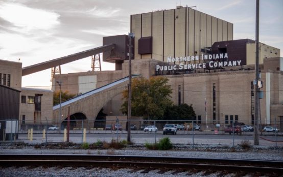 Michigan City Residents Urge NIPSCO’s Coal Plant Retirement Amid Environmental Concerns
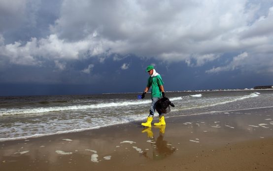 Gulf of Mexico’s Twilight Zone Ecosystem Severely Impacted by 2010 Deepwater Horizon Oil Spill
 Lake Forest Preservation Symposium Emphasizes Community and Future
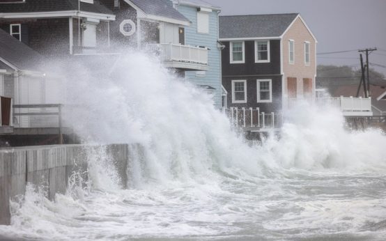 Nor’easter Threatens U.S. Coastal Areas Amidst Quiet Hurricane Season
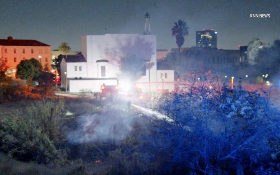 Southern California Faces Santa Ana Winds and Elevated Wildfire Risks
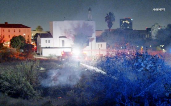 Santa Ana Winds and Wildfire Risks in Southern California