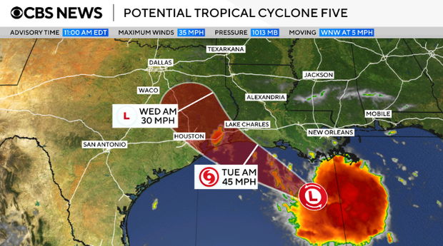
A tropical storm warning has been issued for parts of Louisiana and Texas as a potential tropical cyclone forms in the Gulf. This marks the fifth such system during the 2026 Atlantic hurricane season, earning the interim name Potential Tropical Cyclone Five from the National Hurricane Center. If it develops further, it will be named Tropical Storm Edouard.
Forecasters expect the storm to bring 3 to 6 inches of rain to areas along the Texas coast and east-central parts of the state, with some locations potentially receiving up to 9 inches. Southwestern Louisiana is forecasted to experience 2 to 3 inches of rainfall. The National Hurricane Center warns that this rain could lead to flash flooding, especially in low-lying and urban areas. Coastal regions also face up to 3 feet of potential storm surge.
The warning area covers parts of southeastern Texas and southwestern Louisiana, starting from Texas’ Port Bolivar and extending to Louisiana’s Vermilion/Cameron Parish Line. The hurricane center in Miami reports that tropical storm conditions, such as strong winds and flooding, are expected within this area within 24 to 36 hours.
On Monday morning, the storm was moving slowly westward towards the Gulf Coast, positioned about 130 miles from Morgan City, Louisiana, and 230 miles from Port Arthur, Texas. Maximum sustained winds were recorded at 35 mph, slightly lower than the 39 mph required to categorize it as a tropical storm, but forecasters expect some strengthening soon.
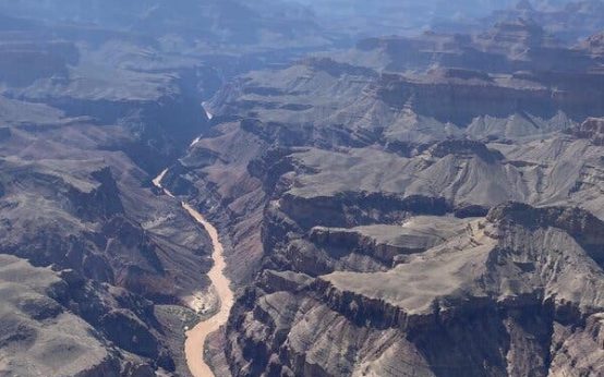 Second Death Confirmed in Grand Canyon Flooding Amid Search Efforts
 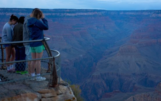 Grand Canyon Flash Flooding: Search and Recovery Efforts Continue
  President Trump Stands Firm on Data Centers Amid Rising Opposition
 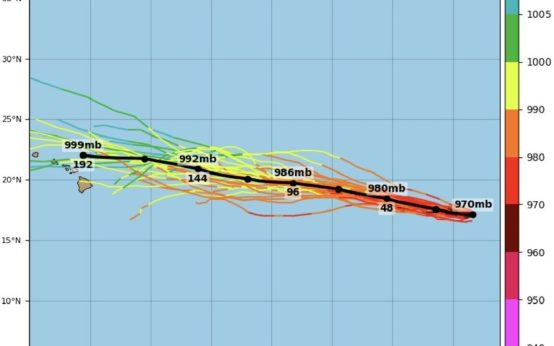 Hurricane Karina Threatens with Dangerous Swells
  Shuttle Bus Crash at Newark Airport Injures 13
  Arizona Operation Targets Illegal Truck Drivers