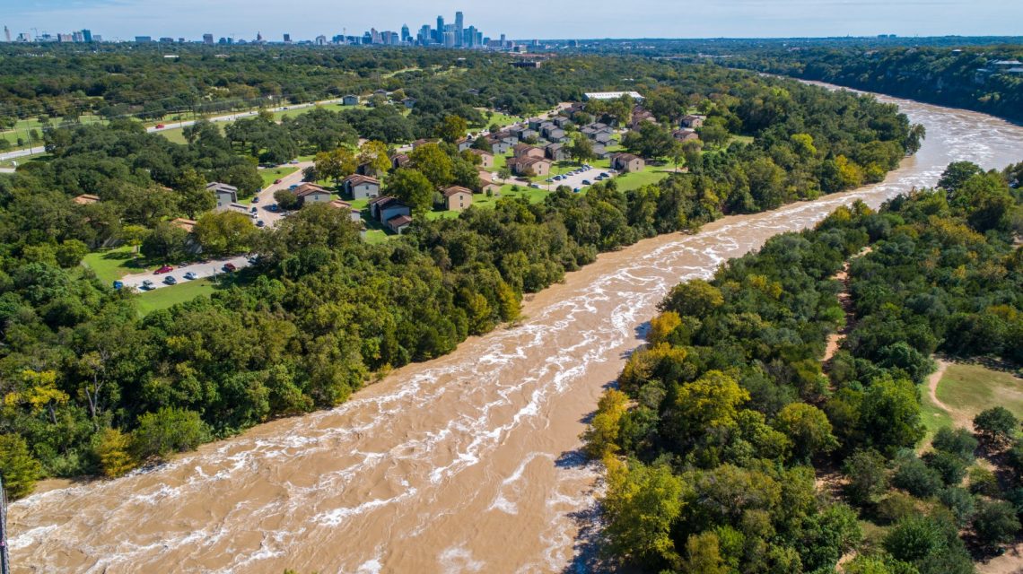
A critical flash flood situation is developing across various regions of Texas. Forecasters caution that some areas might experience over a foot of additional rainfall by Wednesday night. Multiple flash flood warnings persist statewide.
Flooding ranks among the most lethal weather risks in the United States. The National Weather Service (NWS) states that floods and flash floods claim more than 100 lives annually, often surpassing fatalities linked to tornadoes. Many flood-related deaths occur in vehicles when swift-moving water unexpectedly washes them away.
The NWS has disseminated numerous flash flood warnings, extending from the Texas Hill Country and regions west of San Antonio to Central Texas. This includes parts of Uvalde, Medina, Bandera, Bell, Coryell, and Milam Counties. Several warnings emphasize the threat as “life-threatening,” with some communities already hit by rainfall totals between 5 and 10 inches.
CBS Austin meteorologist Avery Tomasco highlighted the precarious weather outlook, noting “The situation is dynamic and uncertainty is high, but if this new data is to be believed, we could be in for a dangerous night,” he stated on X.
Tomasco further commented that the latest forecast indicates potential additional rainfall of “6-12 inches” through Wednesday night. The threat is notably heightened in South-Central Texas. The NWS Weather Prediction Center issued an unusual high risk warning for flash flooding in this area. “Unreal. Extremely rare HIGH RISK for flash flooding now in place west of San Antonio to the Rio Grande through 7 AM Wednesday,” Tomasco posted on X, pointing to the possible “10-20 inches” late Tuesday into Wednesday.
An advisory attached to Tomasco’s post pointed to “catastrophic” flooding risks, noting that the level 3 of 4 flood risk zone had expanded eastward into Travis and Hays counties. The “high risk” label represents the Weather Prediction Center’s most severe rain category, suggesting widespread and potentially catastrophic flash flooding.
Warnings follow intense rainfall already affecting South-Central Texas. In northeastern Uvalde County, the NWS noted totals between 5 and 10 inches by late Tuesday morning, with flash flooding imminent or ongoing. Medina County reported similar figures ranging from 4 to 10 inches.
Further alerts covering areas such as Bandera, Medina, Uvalde, Frio, Edwards, Kinney, and Zavala Counties highlighted “life-threatening flash flooding” risks and a “considerable” threat of flash flood damage. Affected communities include Uvalde, Concan, Sabinal, Knippa, Hondo, Medina, Utopia, and Brackettville.
The Austin/San Antonio forecast office urged residents to rapidly seek higher ground and avoid submerged roadways. “Act quickly to protect your life,” one warning declared.
Central Texas’s flooding concerns have escalated due to excessive rainfall. In Bell County, areas like Temple, Belton, Harker Heights, and Salado remained under warning Tuesday afternoon. Radar data indicated that 1 to 4 inches had already accumulated, with more predicted.
In other locations, Bell and Coryell Counties received up to 3 inches of rain. Milam County recorded between 2 and 4 1/2 inches, per the NWS. Authorities alerted that small creeks, streams, low roads, and urban areas face a high risk of swift flooding.
Despite uncertainty in forecasts, meteorologists concentrate on the potential for successive thunderstorms overnight affecting the same regions.
If higher-end predictions materialize, already drenched land may struggle to absorb subsequent water, escalating risks of rapidly rising creeks, flooded roads, and hazardous flash flooding.
Residents in affected areas should closely track forecasts, access multiple weather alert channels, and be ready to relocate to higher ground if conditions worsen overnight.