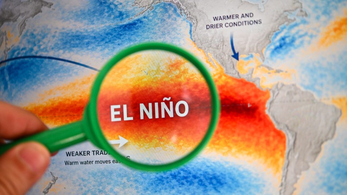
Understanding El Niño
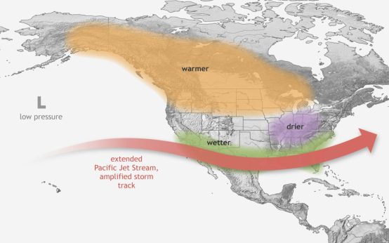
El Niño is the warm phase of the El Niño-Southern Oscillation (ENSO), a recurrent Pacific climate pattern affecting global weather. Its opposite phase, La Niña, is characterized by cooling. El Niño typically brings stormier conditions to the Southern U.S., drier weather to some northern regions, and impacts hurricane activity.
Strengthening of El Niño
Federal forecasters, with the National Oceanic and Atmospheric Administration’s Climate Prediction Center, report a likelihood exceeding 90 percent that El Niño will evolve into a very strong event by the end of 2026. There’s a 75 percent chance it will reach historic strength between October and December, surpassing previous occurrences since 1950. Although a strong El Niño elevates chances for typical weather impacts, these effects aren’t guaranteed.
Expected Weather Patterns
The term “Super El Niño” describes exceptionally intense events, although it lacks formal classification by NOAA. AccuWeather’s Paul Pastelok predicts December might bring heavy rainfall to central and Northern California and potentially the Northeast, along with snow in the Sierras. Storm tracks may develop from the Gulf Coast to the mid-Atlantic, resulting in heavier rain for the Southeast and Tennessee Valley, and severe thunderstorms in certain areas. Meanwhile, the Great Lakes, Midwest, and Northeast could be milder than usual.
In January and February, patterns may persist, with substantial storms hitting California and Nevada and extending into the Four Corners. Less snow might be expected in the Northwest and northern U.S. Gulf Coast to Mid-Atlantic and Southeast areas could experience periods of wet and stormy weather.
Pastelok notes that other factors might influence these predictions for a strong El Niño, indicating ongoing research is essential.
Climate Prediction Center’s Winter Outlook
The Climate Prediction Center’s projections for temperatures from December 2026 to February 2027 show above-normal conditions across expansive areas—the Pacific Northwest, northern Rockies, Plains, Midwest, and Northeast—with the most significant warm signal in northern regions. Southern U.S. temperatures should also trend warmer, though California and the Southwest might see less certain changes.
Regarding precipitation, the outlook anticipates wetter-than-average scenarios from Southern California through the Southwest, southern Plains, Gulf Coast, Florida, and some East Coast sections.
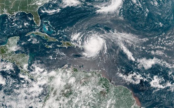 Atlantic Basin’s Potential Hurricane-Free Season
 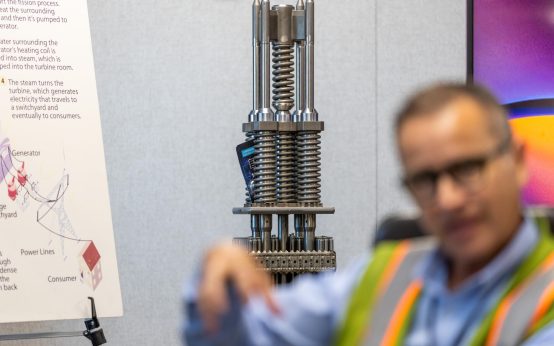 Nuclear Waste Concerns at San Onofre: Coastal Erosion and Long-term Solutions
  Progress and Challenges of the Marquette Greenway Trail
 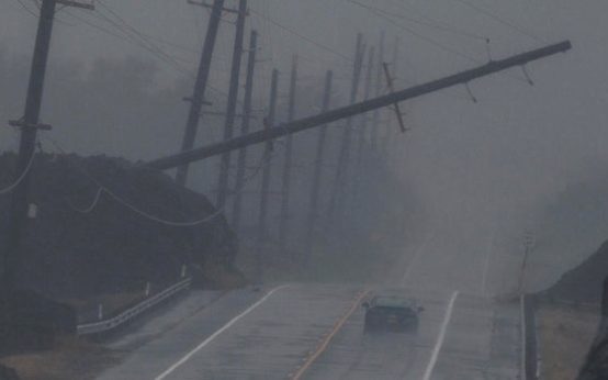 Record Quiet Hurricane Season in the Atlantic Due to El Niño
  Increased Winter Weather Expected in Major Cities Due to Strengthening El Niño
  Lobster Boats and the Surveillance Debate