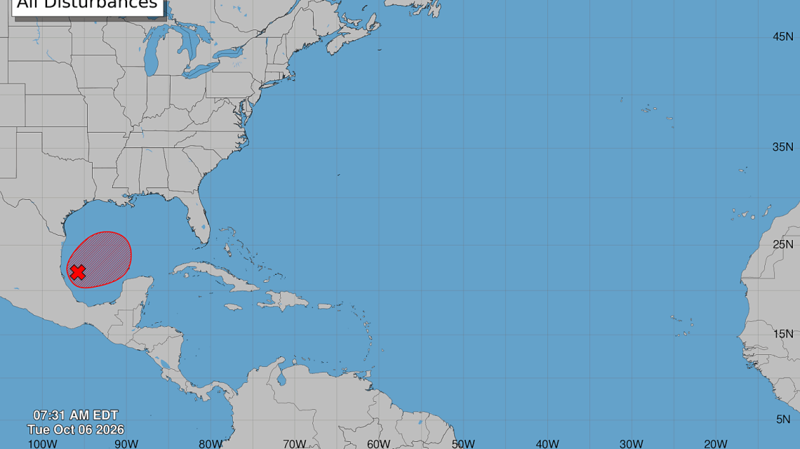
A tropical disturbance in the Gulf of Mexico is expected to transform into Tropical Storm Isaias soon. Forecasters are watching its trajectory toward the United States. The storm may lead to flooding, storm surge, damaging winds, and isolated tornadoes later in the week. Regions from eastern Louisiana to the Florida Panhandle are being advised to follow updates as the storm approaches the northern Gulf Coast by Friday or Saturday.
Monitoring and Predictions
The National Hurricane Center (NHC) is observing Invest 92L in the Bay of Campeche, with a high probability of tropical development assigned. Hurricane Hunter aircraft are set to investigate the disturbance to assess its strength and potential landfall. Current forecast and model projections indicate that the northern Gulf Coast is the area of greatest concern.
Recent spaghetti model guidance shows tracks converging across the northern Gulf Coast, implying landfall between eastern Louisiana and the Florida Panhandle. Although individual models differ, there’s a growing consensus on this coastline stretch as a likely impact area.
Meteorologist Matt Devitt noted that potential landfall may occur from eastern Louisiana to the Florida Panhandle. Confidence is increasing that Isaias will move toward the northern Gulf Coast, according to AccuWeather Lead Hurricane Meteorologist Alex DaSilva. There remains a minimal chance the storm could linger in the Bay of Campeche, but this possibility is decreasing.
Forecasting Complexities
While uncertainty exists, AccuWeather’s latest projection highlights Mississippi and Alabama’s coastline as high-risk areas for landfall. DaSilva predicts landfall on Saturday morning east of Biloxi, MS, though greater confidence in timing and location should emerge once the storm’s circulation becomes defined.
Current forecast steering currents suggest a north-northeast trajectory across the Gulf. Atmospheric winds favor moving toward the central Gulf Coast rather than Mexico. Projected landfall may occur near southeastern Louisiana, coastal Mississippi, Alabama, or the Florida Panhandle. Even marginal track adjustments could alter the zone of greatest impacts significantly.
Potential Strength
The strength of Isaias remains uncertain as warming Gulf temperatures could support intensification. However, wind shear might impact how intense the storm becomes. DaSilva emphasized that while conditions could change if wind shear eases or the storm shifts east, AccuWeather currently predicts Isaias will reach hurricane strength by Friday. Yet increasing wind shear could weaken the system upon nearing land.
Water Hazards and Meteorological Concerns
Even at hurricane strength, forecasters warn of significant water hazards. The storm might exhibit a structure concentrating heavy rainfall east of the center, putting Gulf Coast areas at risk for flash flooding and rising rivers. Widespread rainfall is estimated to range between 1 to 4 inches, with localized amounts potentially higher.
Storm surge is a threat in vulnerable coastal areas with continuous onshore winds causing inundation. Flooding due to rainfall remains the primary concern, extending beyond the Gulf Coast to regions like the Ohio Valley, Kentucky, West Virginia, the Carolinas, and Virginia.
Strong winds near landfall are predicted. Coastal communities should anticipate wind gusts potentially reaching 60-80 mph. Tornadoes and storm surge also pose risks. DaSilva indicated possible tornado activity east of the storm’s center and forecasted surge near the landfall location.
NHC’s Observations
The NHC continues to classify the system as Invest 92L while assessing its organization. Hurricane Hunter aircraft reconnaissance will provide detailed information on the storm’s structure, strength, and location. If it meets tropical-storm criteria with defined circulation and winds, it will be named Isaias, marking the ninth named storm of the 2026 Atlantic hurricane season.
While monitoring continues, DaSilva noted that vital details about the storm’s track and impacts hinge on its organizing speed. Gulf Coast residents are encouraged to review hurricane preparations, ensuring readiness before any warnings are issued. Having adequate supplies and understanding local evacuation plans can be critical for coastal residents.
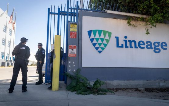 Criminal Investigation Underway at Lineage Cold Storage Warehouse
  Flight Attendant’s Body Identified, Former Roommate Charged With Murder
  Prince Andrew Challenges Search Warrants in High Court
 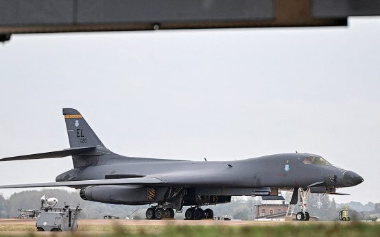 U.S. Air Force Returns Bombers to the United States Amid Suspected Terror Plot in the U.K.
  FBI Director Kash Patel and Singer Alexis Wilkins Announce Engagement
  Fatal Shooting at Georgia Homecoming Event